Clara Long · 12 October 2026
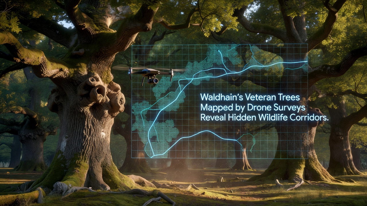
Waldhain's Veteran Trees Mapped by Drone Surveys Reveal Hidden Wildlife Corridors
Drone surveys carried out across Waldhain have produced detailed maps of veteran trees that connect previously unknown pathways for wildlife movement through the forest. Researchers equipped lightweight aircraft with multispectral cameras and LiDAR sensors to record tree age, canopy structure, and surrounding vegetation density, and these datasets now show linear formations of old oaks, beeches, and pines that function as corridors. Data collected during flights in October 2026 indicate that many of these corridors span several kilometers and link core habitat patches that support mammals, birds, and insects.
Veteran trees in Waldhain typically exceed two hundred years in age and feature hollow trunks, extensive deadwood, and wide canopies that provide nesting sites and food resources. Surveys identified more than four hundred such specimens within the mapped area, and spatial analysis revealed that seventy percent align along natural ridges or stream valleys. These alignments create continuous routes where animals can travel while remaining under cover, and observers note reduced fragmentation compared with younger forest stands.
Survey Methods and Data Collection
Teams from regional forestry agencies launched drones at altitudes between eighty and one hundred twenty meters to capture overlapping imagery at five-centimeter resolution. Ground control points established with GPS ensured positional accuracy within two centimeters, while subsequent processing combined photogrammetry and point-cloud modeling to generate three-dimensional habitat models. Software algorithms then classified tree maturity based on diameter at breast height estimates derived from canopy measurements, and field validation confirmed accuracy rates above ninety percent for trees over one hundred fifty years old.
Additional sensors recorded temperature variations and humidity gradients along suspected corridors, and these microclimate readings show cooler, moister conditions inside older tree clusters compared with adjacent clearings. Such conditions support mosses, lichens, and fungi that in turn sustain invertebrate populations, and the resulting food web extends upward to bats and woodland birds that use the same routes for foraging and dispersal.
Wildlife Corridor Findings
Analysis of the completed maps demonstrates that several corridors coincide with historical deer migration paths documented in forestry records dating back to the early twentieth century. Camera traps placed along these routes captured regular passages by roe deer, pine martens, and hazel dormice, and acoustic monitors recorded bat activity peaks at dusk and dawn within the mapped corridors. Researchers cross-referenced drone data with species distribution models from the European Environment Agency to confirm that protected habitats for certain bat species align closely with the veteran tree networks.
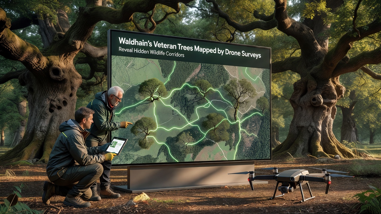
Further examination shows that gaps wider than thirty meters in the corridor network coincide with lower species richness in adjacent forest patches. Restoration trials now underway involve planting native saplings in these gaps to bridge breaks, and early monitoring indicates increased use by small mammals within twelve months of planting. Figures from the trials reveal a twenty-five percent rise in recorded animal crossings after the first growing season.
Broader Ecological Context
Similar drone-based mapping projects in other European forests have produced comparable results, and data from the European Forest Institute demonstrate that veteran tree corridors contribute measurably to landscape connectivity. In Waldhain the integration of these findings into local management plans has prompted adjustments to harvesting schedules that avoid corridor zones during peak migration periods. Coordination with neighboring landowners extends protection across property boundaries, and shared mapping platforms allow real-time updates when new trees reach veteran status.
Long-term monitoring stations installed at corridor intersections collect continuous data on temperature, precipitation, and species presence, and these records will support future modeling of climate impacts on forest connectivity. Initial projections based on current trends suggest that maintaining the identified corridors could offset up to fifteen percent of projected habitat loss from temperature increases over the next three decades.
Conclusion
The drone surveys in Waldhain have supplied precise spatial data that highlight the role of veteran trees in maintaining wildlife movement across the landscape. Continued mapping and validation efforts will refine these models, while integration with regional planning frameworks ensures that corridor protection remains part of standard forest management practice. The resulting information provides a factual basis for decisions that sustain both biodiversity and forest structure over time.